December 20, 2025 — 7.28pm
Storms severe enough to down trees and trigger outages and flash floods are set to follow the scorching days and sweltering nights currently impacting eastern Australia.
While Brisbane and south-east Queensland were spared the worst of the state’s heat, the next few days will likely tick over 30 degrees and there is a chance of a thunderstorm on Tuesday.
The national heatwave, which has delivered 40-degree plus temperatures across a wide swathe of Queensland, South Australia, Victoria and NSW, will persist until Monday, according to the Bureau of Meteorology.
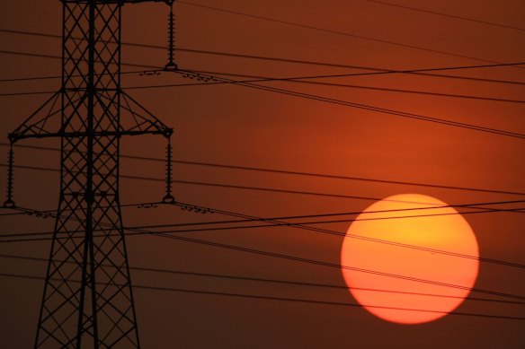
Parts of Queensland have copped severe heat on Saturday.Credit: Glenn Campbell
While Australia’s coastal south-east was enjoying some relief on Saturday, inland Queensland and NSW were sizzling, with Walgett in northern NSW expected to hit 42 degrees and several centres further north likely to make 41.
The bureau has still forecast rain in parts of Queensland on Saturday.
Loading
“Showers and storms in the west of the state, possible heavy falls about the Gulf. Possible storm also for the south-east interior,” a BOM post on X read.
“Heating up in the east and south-east, but milder in the west under cloud cover.”
However, near-record overnight temperatures on Australia’s east coast would probably create just as much discomfort, senior meteorologist Angus Hines said.
Sydney’s nighttime low into Monday would be about 24 degrees, he said, while Newcastle’s would be 25 degrees and Brisbane might get down to 23.
“But that’s going to be about 6am when we finally drop to that temperature,” he cautioned.
“Imagine at 10 or 11 o’clock at night and you’re trying to get to sleep. It’s probably going to be more like 28 or 29 degrees.”
But it’s not just heat that is making things unpleasant.
“We have got the potential for some significant stormy weather as well over the course of a couple of days,” Hines said.
Southern Queensland, northern Victoria, inland NSW and the ACT were bound to cop patchy storm activity on Saturday.
And then things were likely to be less hit-and-miss and more scary.
A cold front approaching from the Great Australian Bight is expected to deliver an unbroken band of rain across Victoria, NSW and Tasmania.
With it will come the widespread risk of severe thunderstorms and the chance of extreme conditions mostly west of Canberra.
“This could bring some strong winds, which may bring down trees and cause power outages,” Hines warned.
“It could bring some large hail, which can damage cars, damage houses and windows and potentially damage crops.
“It could bring some heavy rainfall, especially on Sunday, which may lead to flash flooding, and the potential is there for some river level rises as well.”
AAP
Most Viewed in National
Loading