Sydney is basking in spring sunshine after a winter that might have felt colder than it really was, with regular downpours throughout August, but it probably won’t be long until the rains return.
After the last days of winter brought snow near Oberon and sunshine for the Sydney Marathon, the weather bureau predicts fine weather in the first week of September for coastal NSW and most of the state, with maximum daily temperatures in Sydney expected to reach the low 20s.

Warm weather at Bondi Beach in the final week of winter. The sunny days are likely to continue for at least the first week of spring.Credit: Flavio Brancaleone
Yet the long-range outlook for spring is for it to be wetter than average.
Bureau of Meteorology senior climatologist Hugh McDowell said this did not mean constant rain – there would still be spells of hot, dry weather through spring and summer.
“Rainfall is quite sporadic – it can be dry and sunny and hot and then you get a dump or rainfall, then it flips back again,” McDowell said. “I can guarantee you some beach days at some point.”
The high likelihood of rain is due to three main factors.
First, the Indian Ocean Dipole is near negative. This climate driver brings stronger westerly winds to the Indian Ocean and enhanced rainfall to Australia. Reaching negative status takes two months of warmer than average sea surface temperatures near Indonesia and cooler than average in the western Indian Ocean – so far it’s been one month.
The second factor is that warm oceans around Australia increase evaporation and moisture in the atmosphere that will later fall as rain.
Professor Matthew England, a climate scientist at the University of NSW, said the Tasman Sea had been “unusually warm” throughout August – about 2 degrees above average in many areas.
“On top of this, we’ve had onshore easterly winds most days, which is highly unusual for winter, when we normally see prevailing westerlies,” England said.
“These easterly winds pick up moisture from the ocean, which favours increased coastal rains along NSW. So it’s this combination of record ocean temperatures and prevailing onshore easterlies that has likely led to the record-breaking rains.”
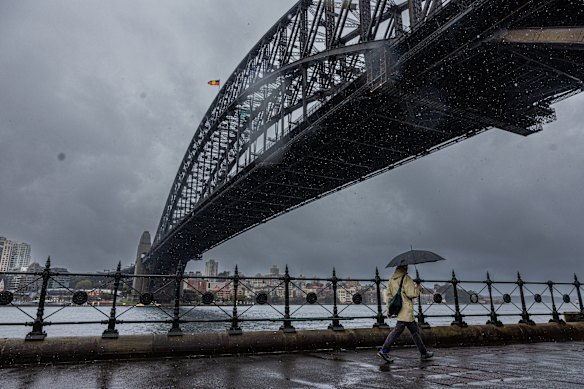
Sydney copped a drenching in August and has a high likelihood of a wet spring.Credit: Sam Mooy
Third, there’s La Nina, the climate driver that is the opposite of El Nino and usually associated with cooler, wetter weather in eastern Australia.
McDowell said the El Nino Southern Oscillation conditions were neutral and that was expected to remain the case throughout spring and into summer, according to most of the global models. However, it could contribute to the rain because it was trending towards La Nina.
Loading
The expected rain in NSW lowers the bushfire risk. Australia’s fire chiefs have released the seasonal bushfire risk assessment for the coming spring, last week predicting increased risk of bushfires in parts of Victoria and Western Australia.
Winter chills
In May, the weather bureau’s long-range forecast for winter tipped it to be warmer than average across most of the state and also wetter, particularly in July and August. The rain eventuated, though temperatures were a more complicated matter.
McDowell said the winter months were wet along the east coast, particularly Sydney, the Mid North Coast, North Coast and into New England. Collaroy in Sydney had its highest rainfall for winter since measurements began 42 years ago, as did Ulladulla on the South Coast with a 30-year high, he said.
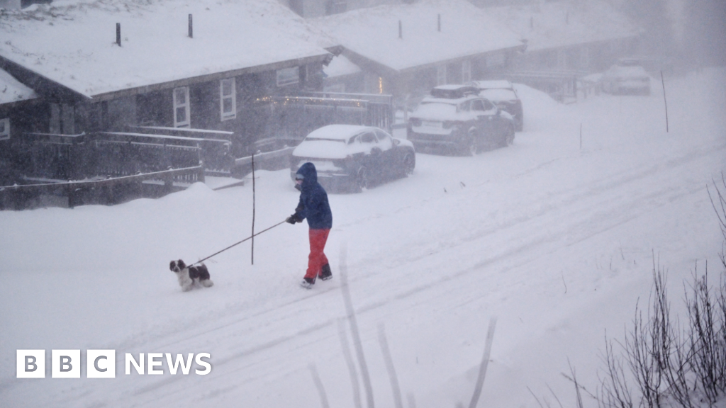
Some of that rain fell as snow in alpine areas, bucking the long-term trend to deliver one of the best ski seasons in a decade.
Some inland south-western parts of NSW were drier than average. There are still a few pockets of declared drought in the Riverina, Murray region and south-east, covering 0.1 per cent of the state.
The minimum temperatures were the coldest since 2019, McDowell said, and included a record-breaking 2.5 degrees at Armidale on August 2. Yet maximum temperatures for winter were slightly above average, though only by about half a degree statewide.
Professor Sarah Perkins-Kirkpatrick, a climate scientist at Australian National University, said people complaining of the cold weather this year, including herself, “have forgotten what a normal winter feels like”.
“Our short-term memories have led us to believe that it was cold,” Perkins-Kirkpatrick said. “It was cold compared with winters in the past decade … but it was closer to the long-term average – the climate of 50 or so years ago.”
Global trends
While 2024 was the hottest year on record globally, 2025 has been less extreme so far.
Still, the northern summer was marked by events such as wildfires in Canada and 40-degree weather in Europe.
Most Viewed in Environment
Loading