Global marine heatwaves will help fuel a wetter than average summer in Australia, as a heatwave in the Pacific nicknamed “the blob” threatens to cause intense winter storms in the United States.
The Bureau of Meteorology has warned of a higher risk of severe weather between October and April, which it said was the peak time for thunderstorms, tropical cyclones, flooding, heatwaves and bushfires.
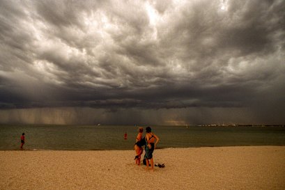
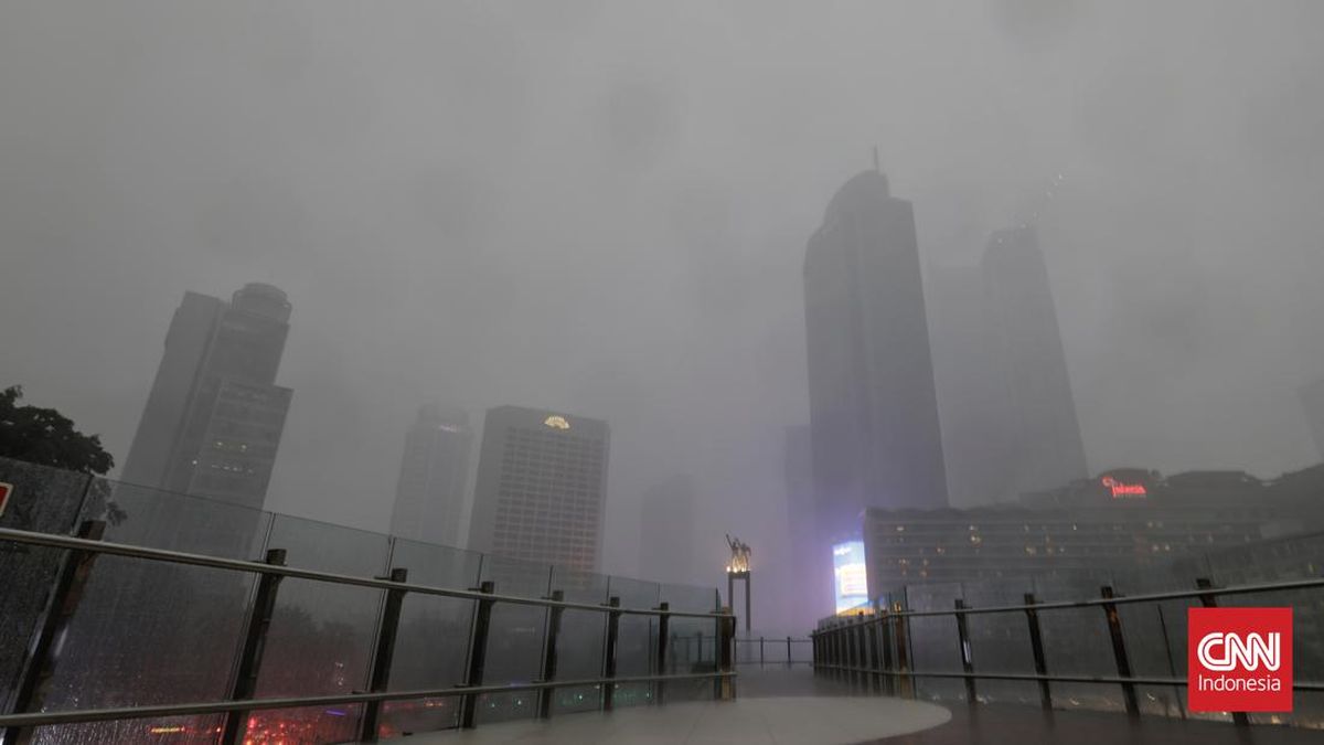
Beachgoers watch as a thunderstorm approaches on a scorching day in Melbourne.Credit: Michael Clayton-Jones
Senior meteorologist Angus Hines said above-average rainfall was predicted across parts of south-east and north-east Australia from November to January.
A negative phase of the Indian Ocean Dipole (IOD) is under way, associated with increased rainfall in southern and eastern Australia during spring, while a weak La Nina is predicted for later this spring.
La Nina weather patterns are linked to increased rainfall in eastern, central and northern Australia, but forecasters predict conditions will return to neutral in summer.
Meanwhile, “the blob”, a large marine heatwave, is spanning much of the North Pacific Ocean, bringing predictions of heavy rain and slow-moving storms to North America.
The marine heatwave has brought milder and more humid air to the West Coast, fuelling unusual thunderstorms, as the US enters into a La Nina pattern.
Climate scientist Daniel Swain told CNN the intensity of the Pacific marine heatwave was “phenomenal [and] really remarkable”, and said it had helped fuel record warm temperatures over the northern summer in South Korea and Japan, among other nations.
Globally, sea-surface temperatures are substantially above average, and this year’s September was the third warmest on record.
In June, the World Meteorological Organisation confirmed 2024 was the hottest year on record in the south-west Pacific, which spans more than 10 per cent of the global ocean surface area.
The State of the Climate in the South-West Pacific 2024 report outlined deadly impacts, including a record-breaking streak of tropical cyclones that hit the Philippines, existential threats to a tropical glacier in Indonesia’s New Guinea. Marine heatwaves in the south-west Pacific extended for nearly 40 million square kilometres, more than 10 per cent of the global ocean surface area.
Closer to home, the bureau reports sea surface temperatures in the Australia region have been the warmest or second warmest on record for each respective month since July last year.
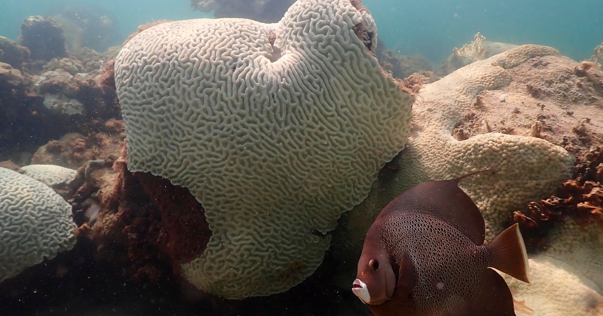
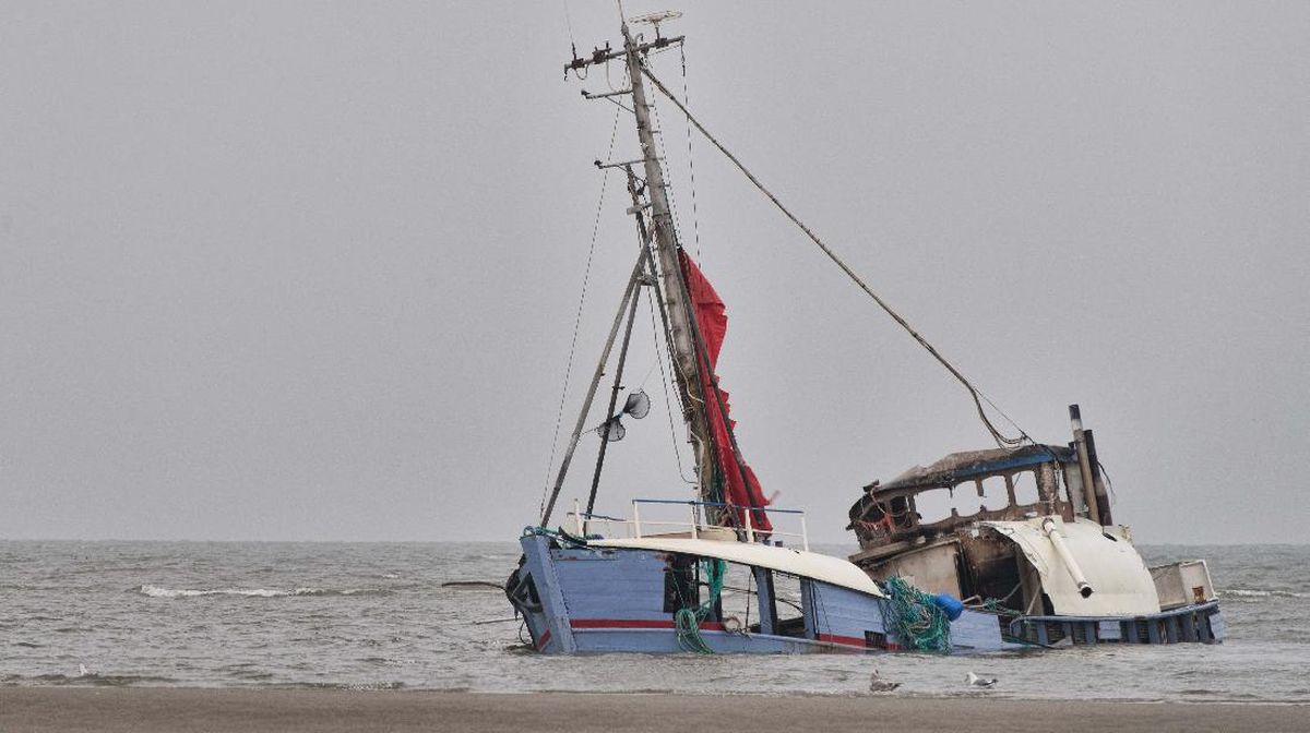
The ongoing marine heatwave has caused simultaneous bleaching on both sides of the country, killing vast tracts of corals on the Great Barrier Reef on the east coast, and Ningaloo on the west coast.
Meanwhile, South Australia continues to battle an outbreak of algal blooms primarily caused by microalgae Karenia mikimotoi, which was driven in part by the marine heatwave that raised ocean temperatures by 2.5 degrees along the South Australian coastline.
The heatwave has also been linked to mass fish kills including the bizarre sight last weekend of thousands of pilchards washed up on shore at The Spit in the Gold Coast.
Marine biologist Dr Leonoardo Guida told The Guardian “early reports suggest [the deaths] are temperature-related and, as a consequence, there is low oxygen in the water”.
Hines said: “With high water storages and increased soil moisture into the lower layers, there’s an increased risk of riverine flooding for Queensland, NSW and northern Victoria.
“There is always a risk of tropical cyclones during our peak season between November and April. There has always been at least one tropical cyclone make landfall on the Australian coast each season. It only takes one to significantly impact communities, with potential for damaging winds, heavy rainfall and flooding.”
Hines said that along with increased rainfall and risks of flooding, modelling predicted warmer than average daytime temperatures in most of Australia, except in parts of eastern NSW.
“There is an increased chance of unusually high maximum temperatures in parts of Victoria and Tasmania [unusually high maximum temperatures are defined as those in the warmest 20 per cent of November to January days],” he said.
“Overnight temperatures for November to January are very likely to be above average across almost all of Australia. There is an increased chance of unusually high minimum temperatures across most of the country, with the strongest chances across northern and eastern Australia.”
Most Viewed in Environment
Loading