3 months ago
27
3 months ago
27
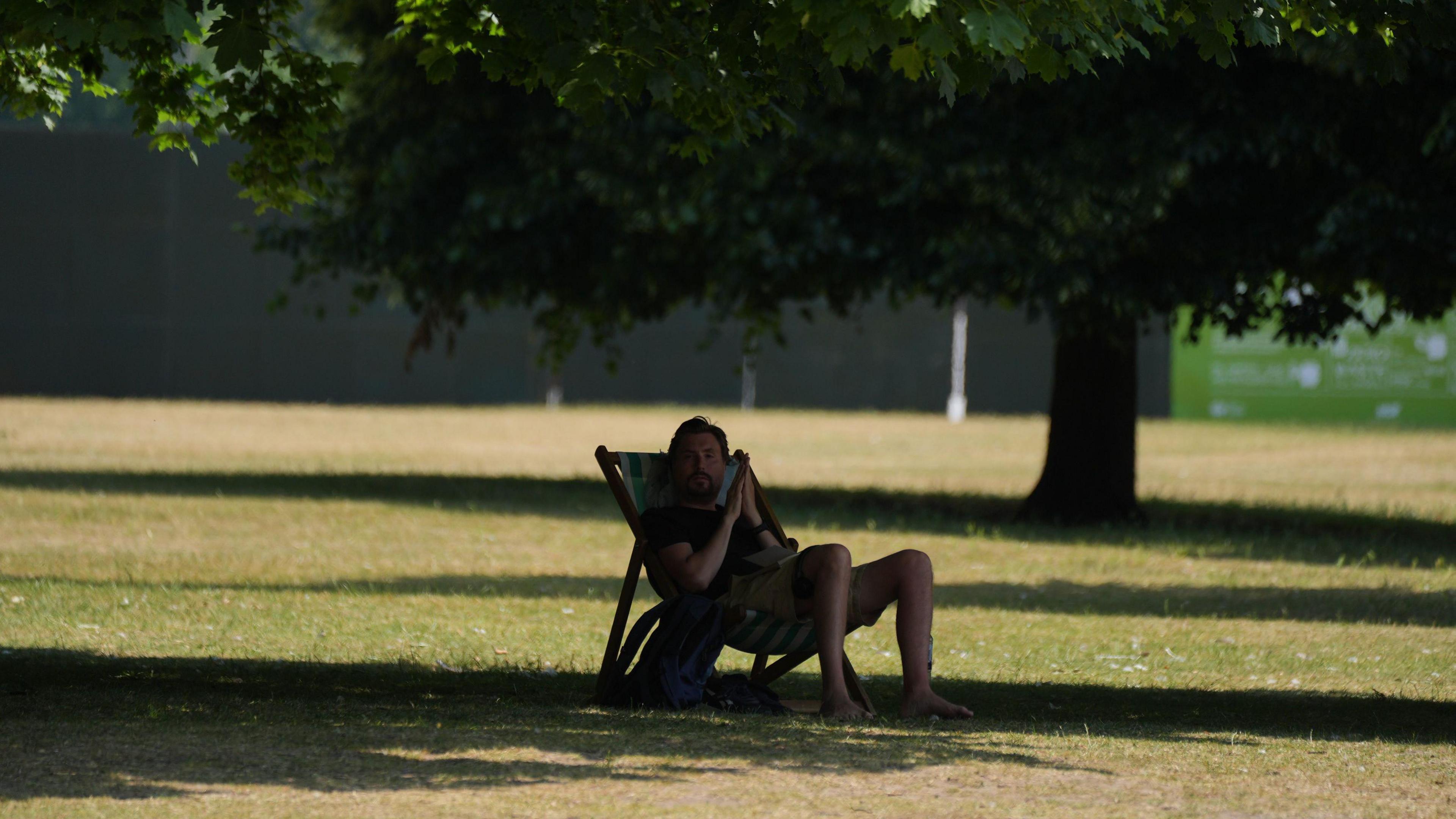 Image source, PA Media
Ben Rich
Lead Weather Presenter
The UK's third heatwave of the summer is forecast to arrive later this week and it could be the most widespread and sustained so far.
High pressure is set to build allowing for plenty of sunshine, with a feed of south or south-easterly winds bringing hot air from continental Europe.
Temperatures are expected to peak at 33C (91F) in England over the weekend but very warm or hot weather is also likely to affect Wales, Northern Ireland and Scotland.
It is possible that some places could have seven days of temperatures that exceed their heatwave criteria. High or very high UV and pollen levels are also predicted.
Warmer from midweek
An area of high pressure is going to build from the middle of the week, cutting off the relatively cool north-westerly flow that has brought lower temperatures - and some much-needed rain - over the last few days.
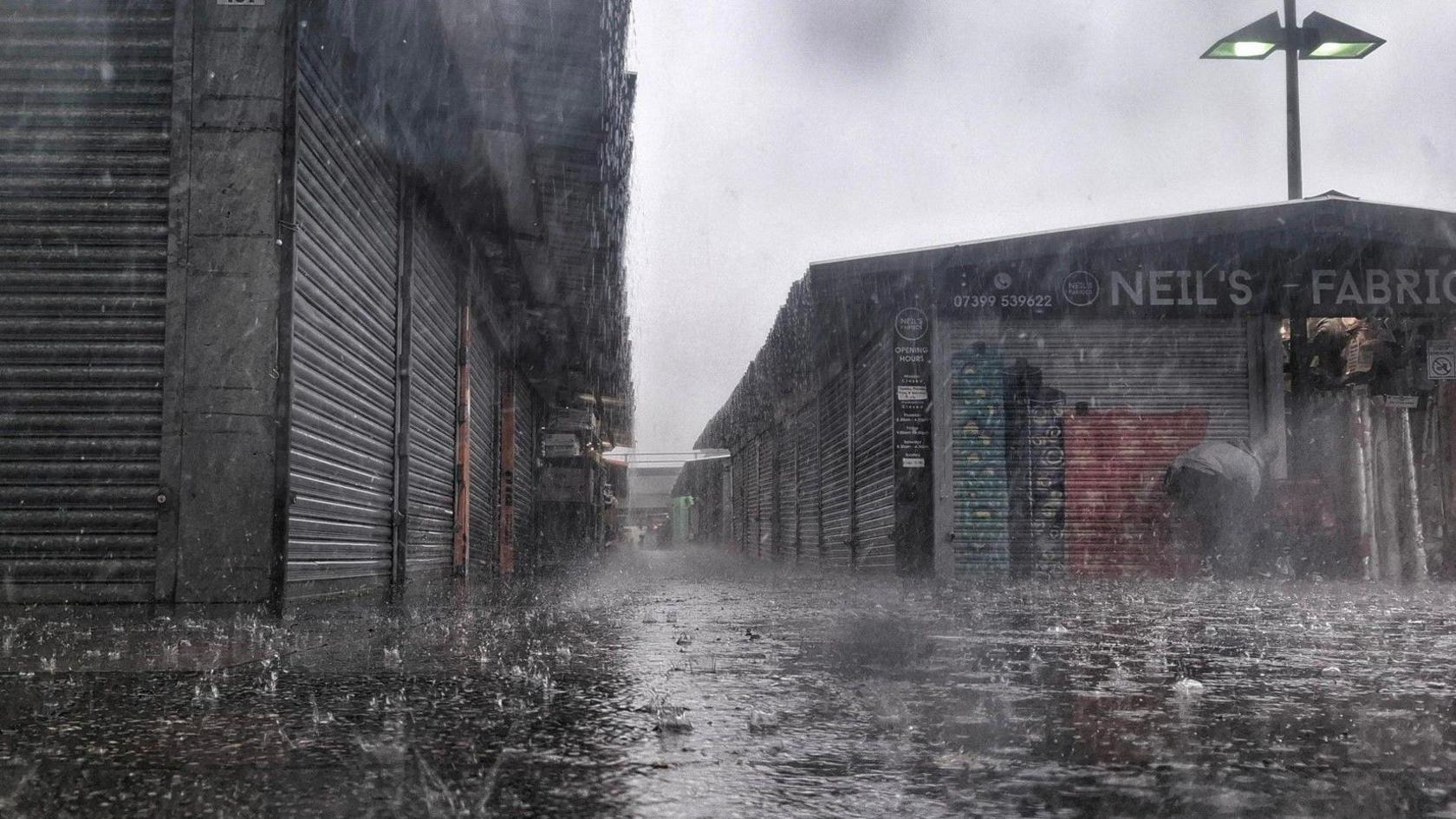 Image source, BBC Weather Watchers / Ironsie
Parts of eastern England had more rain in 24 hours on Sunday than during the whole summer so far
Most of England and Wales will be sunny on Wednesday with temperatures reaching 25-28C (77-82F) in the Midlands and south-east England.
The warm sunshine will become more widespread on Thursday and Friday, extending into Northern Ireland and Scotland as high pressure shifts further north and east.
This will allow temperatures to climb with parts of northern Scotland expected to reach 29C (84F) by Saturday, and 26C (79F) likely in Northern Ireland.
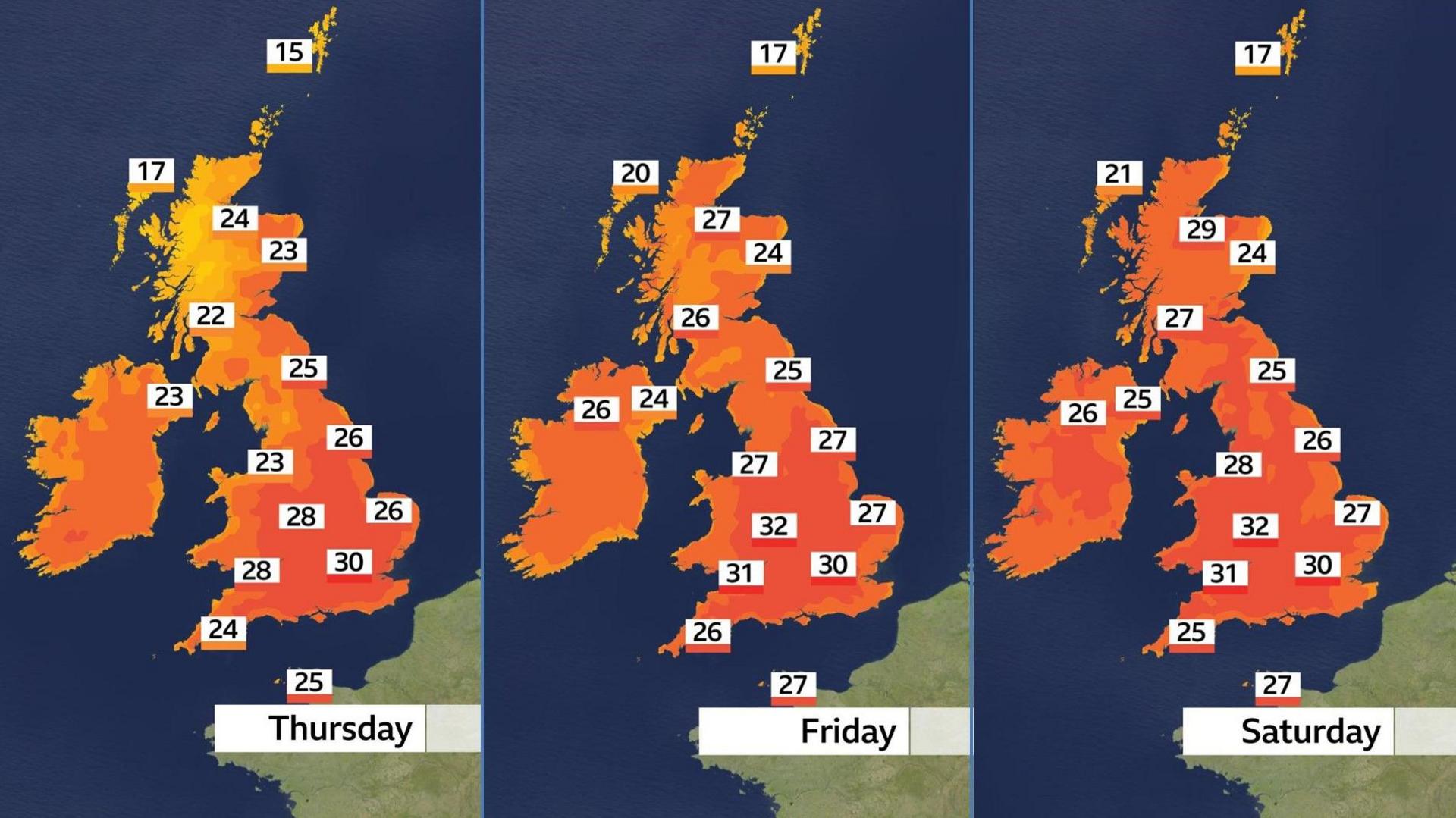
Some places are likely to reach heatwave criteria by the weekend
By then many parts of England and Wales will exceed 30C (86F), with temperatures likely to peak at 33C (91F) in the hottest spots over the weekend.
It will also start to feel quite humid with some very warm and muggy nights - which could make it uncomfortable for sleeping.
When will the heatwave end?
This will be the UK's third heatwave of the summer so far and it could be much more extensive.
The first lifted temperatures at Charlwood, Surrey, to 33.2C (91.8F) on 21 June.
Just over a week later another brought a high of 35.8C (96.4F) at Faversham, Kent, on 1 July - the highest temperature of the year so far.
While those heatwaves were focused on England, especially in the south and east, this time the heat is going to be more widespread - extending into Northern Ireland and the Scottish Highlands.
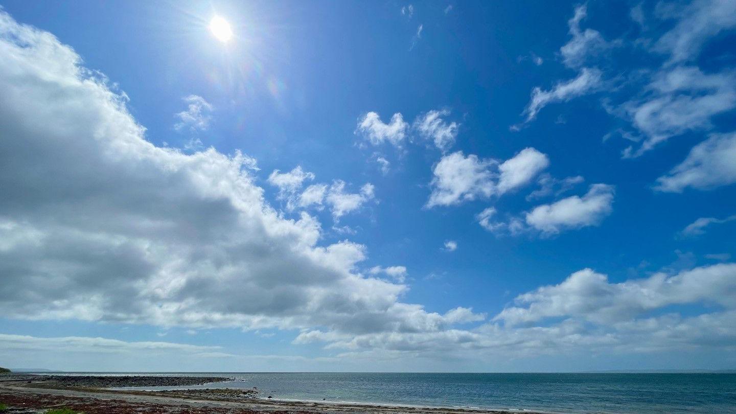 Image source, BBC Weather Watchers / Ruby Tuesday
Scotland may see its hottest weather of the year so far
For some, this heatwave may also be particularly long-lasting.
High temperatures will persist throughout the weekend and into the start of next week.
Beyond that, cooler conditions are likely to develop in the north-west of the UK but there is a lot of uncertainty about how quickly temperatures will drop in the south and east.
Will the rest of the summer be hot?
So far our summer has brought a repeating pattern of warm weather and heatwaves interspersed by brief interludes of cooler - and more unsettled - conditions.
There are some signs from computer weather models that further warm or hot spells are likely during the rest of July, although long-range forecasting is always prone to uncertainty.
Met Office projections at the start of the season suggested an increased chance of a hot summer and heatwaves, something that we know is being made more likely by climate change.
You can always check our latest monthly outlook and keep up to date with the forecast where you are on the BBC Weather app.