1 month ago
54
1 month ago
54
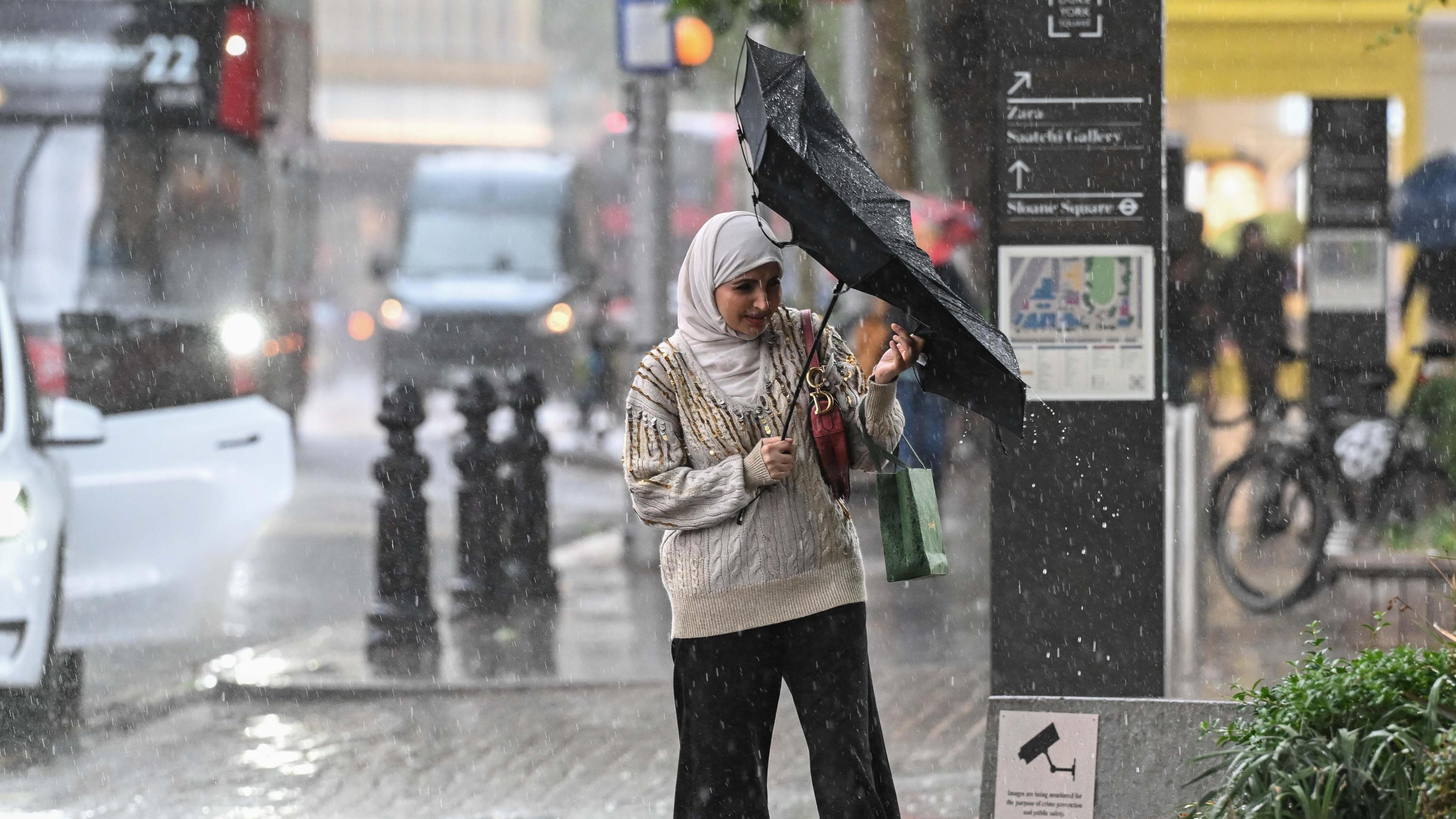 Image source, Getty
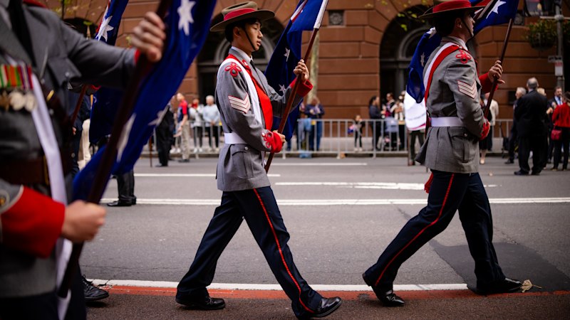
A woman struggles with her umbrella as rainy conditions return to some parts of the UK
BySimon King
Lead Weather Presenter
The start of the meteorological summer brought a dramatic swing in our weather.
High pressure which led to a record breaking heatwave across much of western Europe in late May was replaced by cooler and wetter weather as a stronger jet stream returned.
And that pattern looks set to stay with us for the next week or so.
Saturday brings more rain and showers but also a spell of unseasonably strong winds. The Met Office has issued a yellow wind warning for southern Britain which runs into the evening.
There is concern that trees are in full leaf and this could pose a risk to outdoor events. The final day of the Royal Cornwall Show has been cancelled due to the adverse conditions. Warning details.
By Sunday morning, more rain will have spread into Northern Ireland and western Scotland and this will progress eastwards throughout the day. Southern areas will be drier than Saturday under a ridge of higher pressure, so parts of the Midlands, East Anglia and south-east England might remain dry and feel warmer when the sun appears.
Sunday night and Monday morning will bring the rain band further south and east, meaning a wet start to the new working week in eastern areas. Showers to follow elsewhere.
Tuesday currently looks turbulent with regular showers which by afternoon will be heavy with hail, thunder and lightning.
On Wednesday, the showers will be less frequent, before another area of low pressure looks set to move in on Thursday bringing widespread rain once again.
Keep up to date with the latest forecast here.
More heatwaves likely as warmer-than-normal summer forecast
While summer has begun on a cooler and wetter note, some long-range forecast models suggest warmer-than-average conditions could develop across the UK, increasing the likelihood of heatwaves later in the season.
The Met Office released its three-month summer outlook on 1 June - the first day of meteorological summer - citing higher-than-normal chances of hotter weather during the month.
And for the whole summer - which runs through to the end of August – the outlook suggests "an increased chance of heatwaves and heat-related impacts".
It comes after a late spring heatwave saw temperature records shattered across the UK.
A new all-time May record of 35.1C was set in Kew Gardens, London, replacing the previous record of 32.8C from 1944.
Yellow and amber heat health alerts were also issued for the first time this year.
Long-range forecasts from both the Met Office and MeteoGroup – the provider of BBC Weather data – indicate an increased likelihood of heatwaves during the summer months ahead.
MeteoGroup's seasonal outlook points to above-average temperatures throughout June, July and August, with the potential for a few notable spikes in temperature and significant bursts of heat affecting both the UK and parts of Europe.
That broadly aligns with the Met Office's longer-range assessment, which suggests warmer-than-average conditions are more likely this summer. The Met Office notes that the chance of a hotter-than-average summer is now around twice that of the 1991–2020 climate reference period, reflecting the influence of a warming climate.
Will drought conditions return?
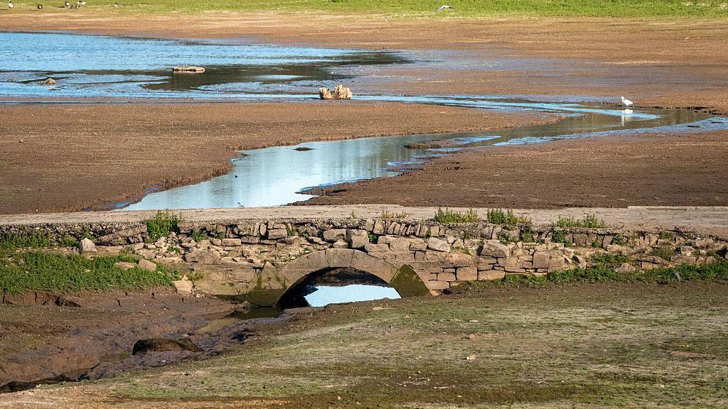 Image source, Getty
Water levels dropped signifcantly in reservoirs across England in September 2025 after a dry spring and summer.
There is less certainty around summer rainfall totals, with forecasters disagreeing on how the season will play out.
MeteoGroup predicts a drier period while the Met Office suggests an average to perhaps even wetter-than-normal season.
The MeteoGroup long-range forecast has precipitation below average overall, especially through June and July across England and Wales.
The wettest areas are more likely towards Scotland where rainfall could be around average.
Meanwhile, the Met Office says "the chance of a wet season [summer] are slighly higher than normal".
While these long-range predictions give an idea of overall UK conditions over the three-month period of summer, in recent years we have seen more variability in rainfall patterns.
In 2025, while the UK average summer rainfall was 84%, northern and western areas of the UK were much wetter than average while central, eastern and southern parts were much drier with less than half of expected rainfall.
Droughts were declared across much of England in 2025 following a very dry spring, and hosepipe bans followed in the summer after demand for water increased.
Heading into this summer, Environment Agency data shows that most UK reservoirs are generally near or above seasonal averages, following a wet winter.
However, spring was extremely dry in parts of southern and eastern England where some areas only got around a quarter to a third of their expected rainfall.
Some locations in Essex, Cambridgeshire, Suffolk and Dorset have had one of their driest springs on record.
Rivers are starting to fall "notably" to "exceptionally low" in some parts of England.
Any heatwave developing may put short term pressures on water companies.
Thames Water saw a sharp rise in water demand during last week's heatwave. It reported that "over one billion litres of extra water were used over the bank holiday weekend compared to the same weekend in 2025".
Meanwhile, 18,000 homes under South East Water had their supply cut off due to extremely high demand during the hot spell.
How are seasonal forecasts produced?
Seasonal forecasts are produced to give healthcare, energy suppliers and government agencies an idea of what the next three months might bring for planning.
At the cutting edge of meteorological science, they are made by studying large weather patterns – called teleconnections.
However, it is important to note that these forecasts give average conditions of temperature, precipitation and wind over a three-month period.
So, while both the Met Office and MeteoGroup are suggesting warmer than average weather this summer, fluctuations where certain weeks may be cooler is still possible.

Get our flagship newsletter with all the headlines you need to start the day. Sign up here.