NOAA updates hurricane forecast
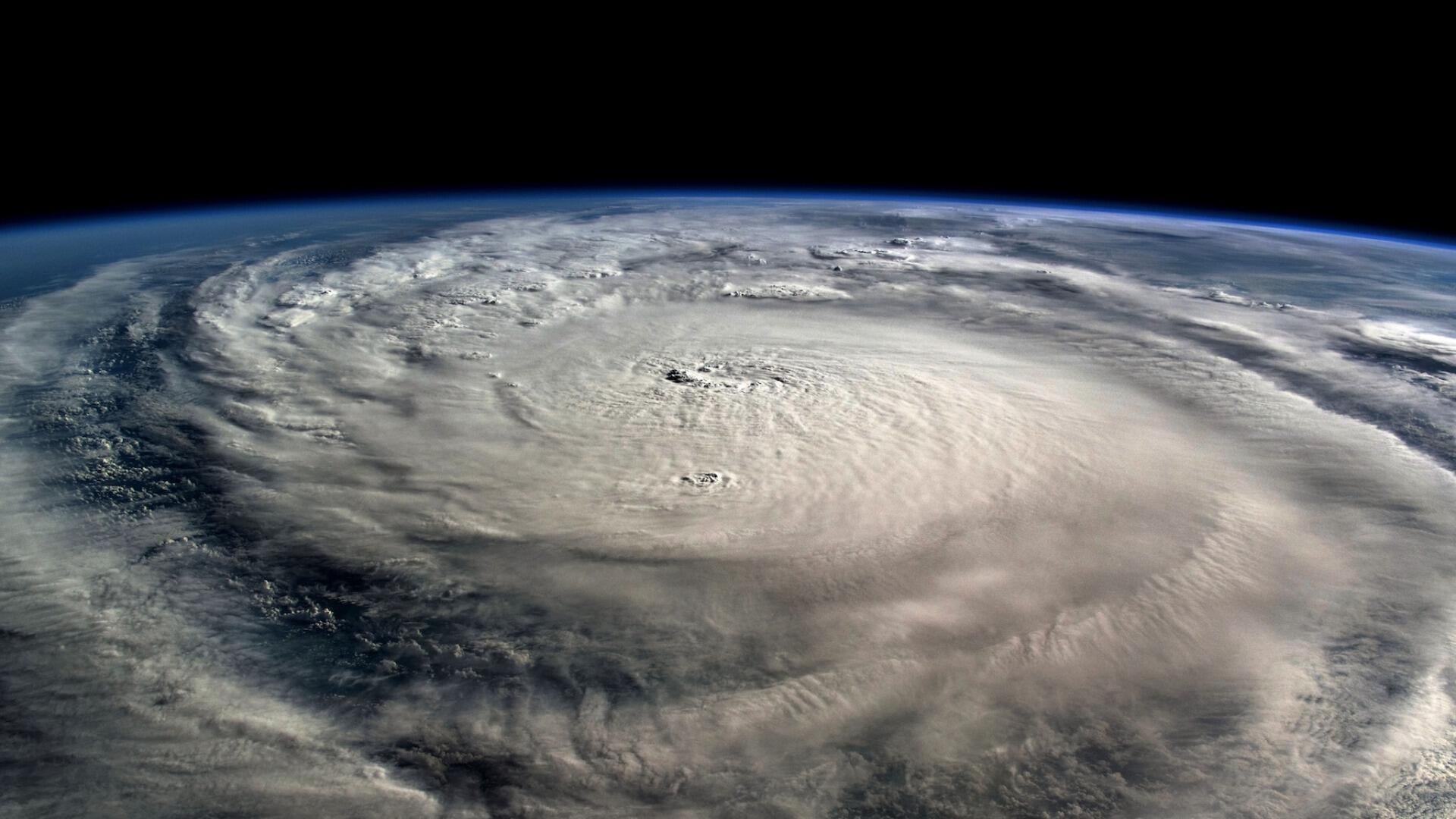
Hurricane Kiko, a Category 4 storm, is swirling in the Pacific Ocean and heading west in a direction toward Hawaii.
As of early Thursday morning, the storm was located some 1,500 miles east-southwest of Hilo and about 1,700 miles from Honolulu. Its maximum sustained winds were topping 140 mph.
"Kiko is moving toward the west near 8 mph (13 km/h) and this general motion is expected to continue through Thursday night," the National Hurricane Center said in an early morning advisory. "A turn toward the west-northwest is expected on Friday, with a gradual increase in forward speed expected over the weekend as Kiko approaches the Hawaiian Islands from the east."
"Little change in strength is forecast during the next day or so, followed by gradual weakening Friday through the weekend," it said.
No coastal watches or warnings were effect and there were no hazards affecting land as of Thursday.
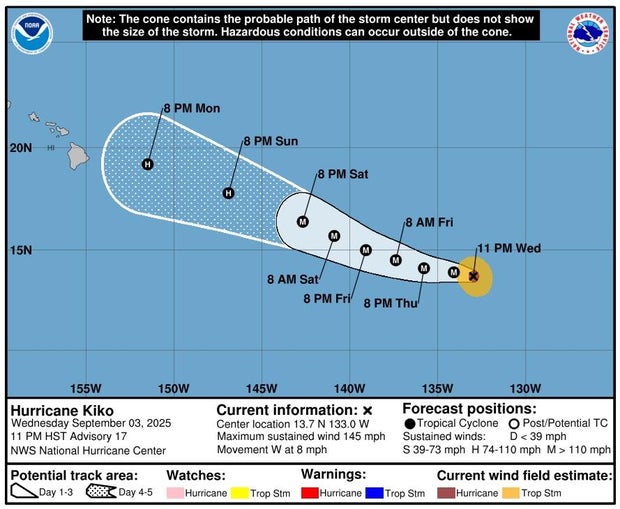
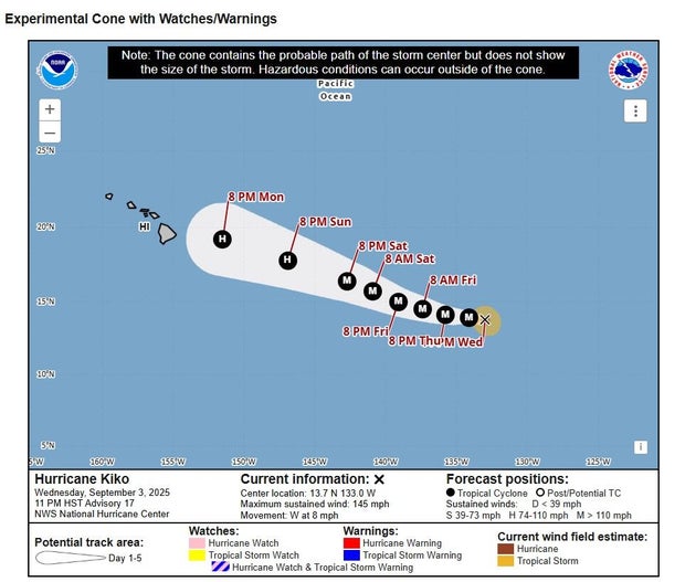
Maps show Hurricane Kiko's forecast path
Maps from the National Hurricane Center detail the probable path of the storm, showing it moving closer to the Hawaiian Islands this weekend.
 NOAA
NOAA
 NOAA
NOAA
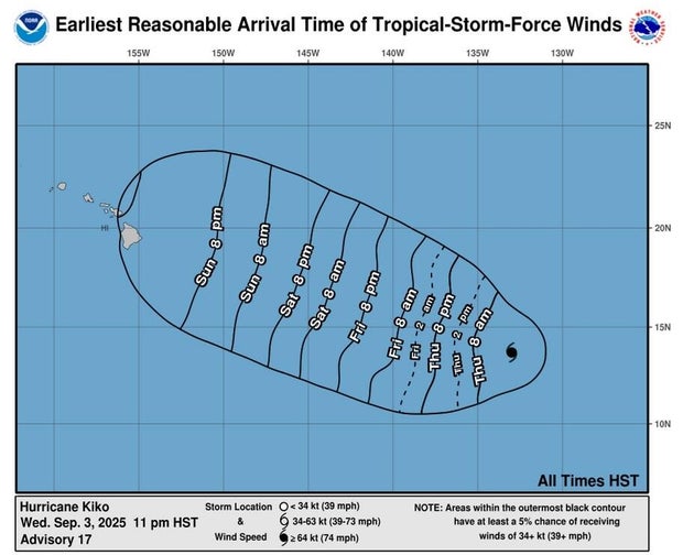
Another map shows that tropical-storm-force winds could start affecting Hawaii on Sunday.
 NOAA
NOAA
As the CBS affiliate in Honolulu notes, however, it is too soon to tell where exactly the storm will go in relation to Hawaii as the forecast track can change.
Sarah Lynch Baldwin is a deputy managing editor of CBSNews.com. She helps lead national and breaking news coverage and shapes editorial workflows.