Two radar images of the same storm taken moments apart reveal the loss of functionality in the Bureau of Meteorology’s new website, which has been subject to mounting anger around the country.
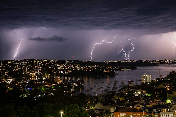
Looking east from Kirribilli as the storm goes out to sea.Credit: Louise Douvis
A short but intense storm ripped through Sydney on Monday night, bringing wind, rain, flash flooding and hail to parts of the city.
On the Bureau of Meteorology radar, it looked like a benign sea of blue.
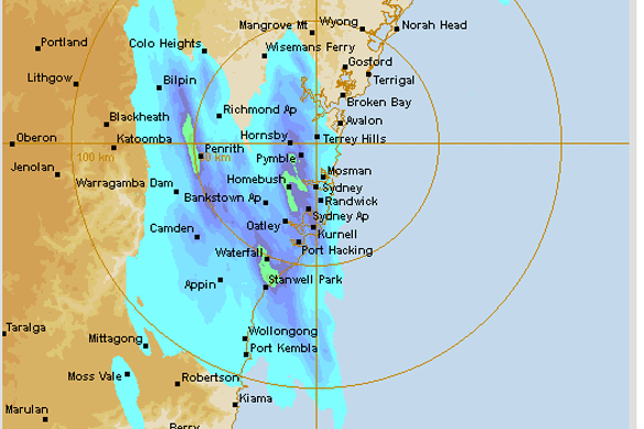
A radar image from the bureau’s website of the storm hitting Sydney.Credit: Bureau of Meteorology
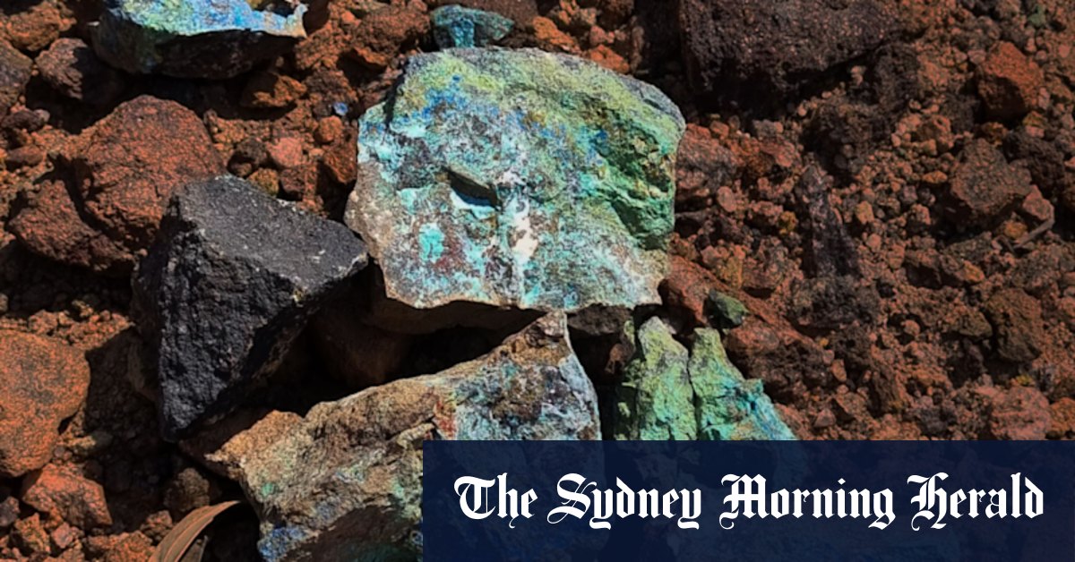
On other radars, such as theweatherchaser.com, you can clearly see the splotches of red and yellow that signify a storm cell.
Many users reported that they did not get an indication of the severity of the storm from the Bureau of Meteorology site. They reported finding radar maps with the new colour scheme as the top web search result for “sydney weather radar” and having to then click through several steps of the bureau’s site to see the version with the old colours.
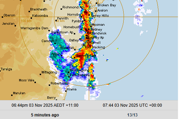
Radar image of storm hitting Sydney on Weather ChaserCredit: https://theweatherchaser.com/radar/IDR713-sydney
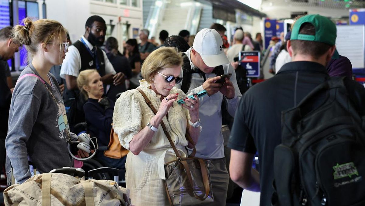
Winds reached 105km/h at Western Sydney Airport and 95km/h at Wattamolla. Planes were circling in a holding pattern around Sydney Airport and out to sea waiting for a safe time to land, as shown on FlightRadar24.com.
In Croydon Park, emergency services rescued people from a car that was trapped under a fallen tree and fallen powerlines.
The State Emergency Service fielded 400 calls for help statewide overnight, mostly following fallen trees. Of more than 250 jobs logged statewide, more than 220 were from Greater Sydney. Sutherland Shire was the busiest area with 130 jobs, an SES spokesperson said, followed by Liverpool, Fairfield and the inner west.
Loading
A spokesperson for the Bureau of Meteorology said: “Forecasts and warnings are the primary means by which the bureau provides advance warning of severe weather, such as storms. These are prominently displayed on the landing page of the bureau website.
“Radar images, such as those provided on websites, provide situational awareness of the current situation, and are not a substitute for a warning created by expert meteorologists, such as those that appear on the bureau website.”
The spokesperson said the Bureau of Meteorology website reverted to the colour scheme used to indicate storm intensity that was used on the previous website on Friday.
Loading
In Victoria, as participants and punters prepare for the Melbourne Cup on Tuesday, the Bureau of Meteorology radar makes it seem like rain will mostly bypass Melbourne, while other sites clearly show the city is in for a drenching.
Last week, the new website garnered national attention when Queensland Premier David Crisafulli called it “flawed” and blamed the loss of functionality for not allowing residents in the state’s south-east to adequately prepare for wild storms that left 100,000 homes without power.
Federal Environment Minister Murray Watt then called new Bureau of Meteorology chief executive Peter Stone in for a meeting and urged him to consider feedback and adjust the site if necessary.
By Friday last week, Stone announced the website would revert to the old radar colour scheme.
Most Viewed in Environment
Loading