Updated April 2, 2026 — 5:32pm,first published 5:00pm
A former mayor and a former federal MP have accused Logan City Council of implementing an illegal flood map that devalued land and led to skyrocketing insurance bills.
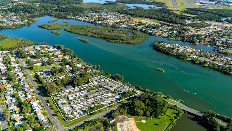
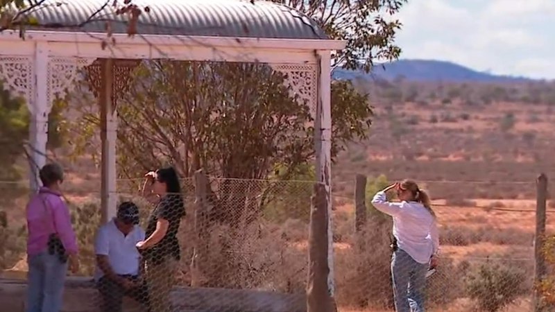
Logan, south of Brisbane, is one of the fastest developing regions in Queensland and has experienced widespread flooding twice already this decade. That makes flood maps a contentious subject.
John Freeman, who was Logan mayor from 2000 to 2006, says the council opened itself up to financial ruin when it implemented changes to its flood mapping without taking the correct statutory steps, such as consulting the community.
In February 2022, the council voted to approve a minor amendment to their flood mapping to incorporate the risk posed by climate change and ensure the maps were as up-to-date as possible.
But Freeman and former Forde MP Brett Raguse said the council instead uploaded a “flood awareness map” that was not legally binding to their planning website in October 2022 without officially updating the planning scheme.
“This gave zero legal protection to anyone, but gave insurance companies every excuse to hike premiums and refuse to insure residents and businesses due to no fault of their own,” Freeman said.
Freeman said the map remained non-statutory until the council voted to install an emergency temporary local planning instrument (TLPI) in August 2023, at the same time as council repealed the 2022 decision.
Speaking on Thursday morning as a representative of the Logan Ratepayer’s association, Freeman said the TLPI allowed the council to move this map onto the Logan planning scheme without public engagement.
“In 2023, when they brought in this emergency TLPI, they resurrected that buried resolution, they dug it up, they revealed it, and buried it again,” he said.
Mayor Jon Raven was chair of the planning committee in 2022, and spoke strongly in support of the change in 2022. Freeman is now calling for him to stand down and clarify what he knew.
“This decision to bypass legal safeguards has directly resulted in a community-wide crisis of severe financial, mental and emotional stress,” he said.
“By Mayor Raven’s own admission, this blunder and cover-up has affected 40,000 properties across Logan.”
According to guidelines referenced in the 2022 decision, councils must notify every impacted property owner about changes to flood mapping, something Freeman said did not occur.
A council spokesperson said the council had not breached the law, and had uploaded the new maps in 2022 as part of an effort to share the latest information available with the public.
“Council has at all times through the flood mapping process complied with state legislation, industry guidelines and a best practice approach,” they said.
Raven said the impact of the flood maps are his number one priority, and he has been advocating for cheaper bills with the insurance companies.
“Every single day, from the moment I wake up until I go to bed, I am thinking about how to help residents with flood mapping,” he said.
“All of this started before I was mayor, but now that I’m in the role, I’m doing everything I can to fix it.”
Darren Power, who was mayor at the time of the decision and is associated with Freeman and Raguse, said he thought councillors were “left in the dark” about the true impact the new maps would have on residents.
Raguse, now the president of the Logan Ratepayers Association, said the changes have put huge pressure on the community.
“We’re seriously concerned, which is why we’re challenging, certainly, council to do something, but also the state government to act on our behalf,” he said.
The group wrote to Deputy Premier and Planning Minister Jarrod Bleijie and Local Government Minister Ann Leahy asking them to investigate the situation and pause the ongoing process of the new Logan planning scheme until there is clarity, Freeman said.
Bleijie said the Queensland government was reviewing statewide planning policy with the aim of ensuring better planning outcomes.
“I have met with Mayor Raven where we agreed to work together to fix the current flood mapping which prohibits development and should instead deliver development rights for Logan residents,” he said.
Measures put in place by the TLPI are being examined by an independent investigator brought in by the council, with a particular focus on the matrix that deemed thousands of properties at high-risk.
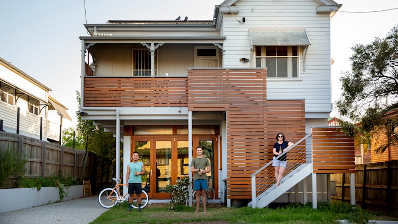
This masthead has seen one home insurance bill in the suburb of Woodhill that jumped from $1400 in 2022 to more than $17,000 in January 2023.
A spokesperson from the Insurance Council of Australia said insurers use a wide range of data sets to attribute premiums, not just council flood maps.
When asked whether changes to the flood maps were expected, the council spokesperson said it would be inappropriate to pre-empt the investigator’s findings.
Get alerts on significant breaking news as happens. Sign up for our Breaking News Alert.